 | |
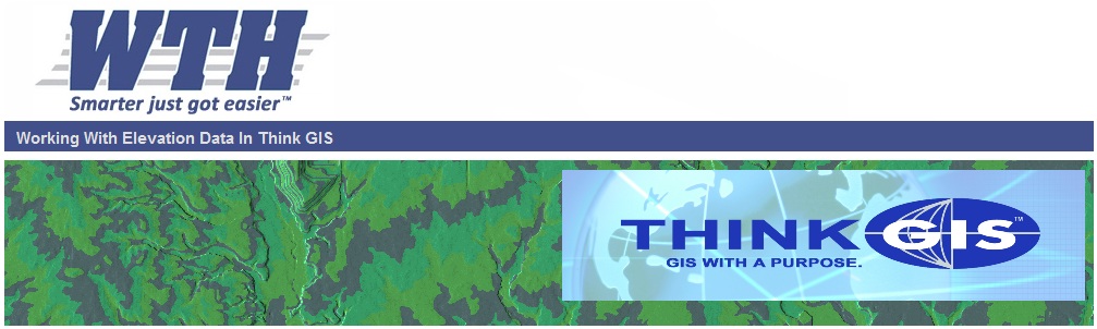
 How Think GIS displays elevation data How Think GIS displays elevation data |
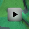
 Watershed Calculation Tool Watershed Calculation Tool |
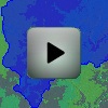
 Basic elevation tools including elevation profiles Basic elevation tools including elevation profiles |
 Watershed Assessment Report Watershed Assessment Report |
| Obtaining DEM data files | |
| Creating a DEM layer in Think GIS | |
| |
| How Think GIS displays elevation data |
Watershed Calculation Tool |
| Basic elevation tools including elevation profiles |
Watershed Assessment Report |
| Obtaining DEM data files | |
| Creating a DEM layer in Think GIS | |